As the calendar swung into winter, some late fine weather gave us the opportunity for a quick explore of some new tracks in the Wairarapa. I wanted to take Ashley and Gillian to Flat Point, where they had never been, and Ashley wanted to show me a track near Castlepoint that he had found but wasn’t on my maps.
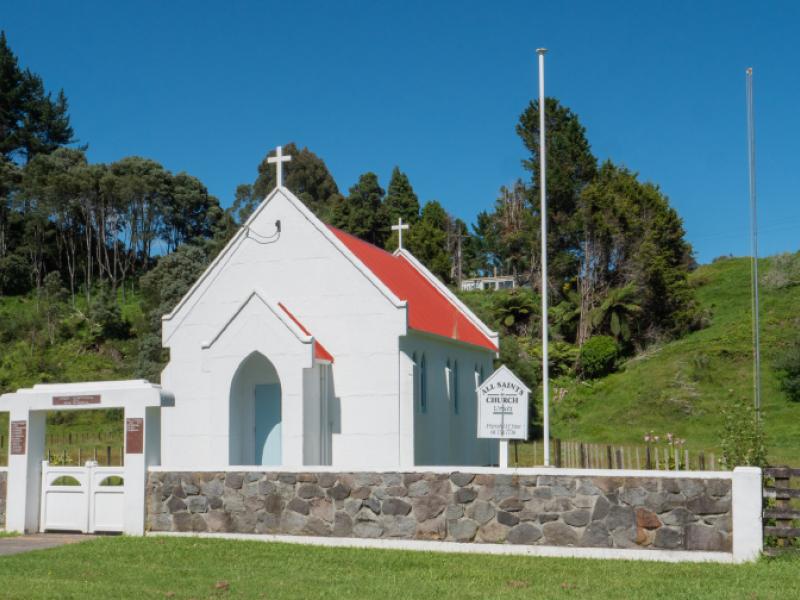
As usual we met at Featherston then headed north, turning off at Carterton for Gladstone. Our first brief stop was at the commemorative model of Richard Pearse’s plane, on the side of the road just before Gladstone. This commemorates the first powered flight in New Zealand, which happened in the early 1900’s, at about the same time as the Wright brothers’ first flight. However, in typical colonial Kiwi fashion, this event was just treated as a bloke messing about with a new idea and never documented well enough for a clear date to be determined.
Continuing past Gladstone, we took Te Wharau Road for the run across to the coast at Flat Point. We had planned to stop at Kourarau Dam and lake but a sign on the entrance gate advised that the area was closed due to flood damage – and please don’t use the neighbour’s property for access. There was also a sign on the neighbouring fence offering access to the lake down the driveway. Somewhat confused, we decided that we had plenty to do for the day, and Ashley would investigate dam and lake access further before his tagalong scheduled for a few weeks later.
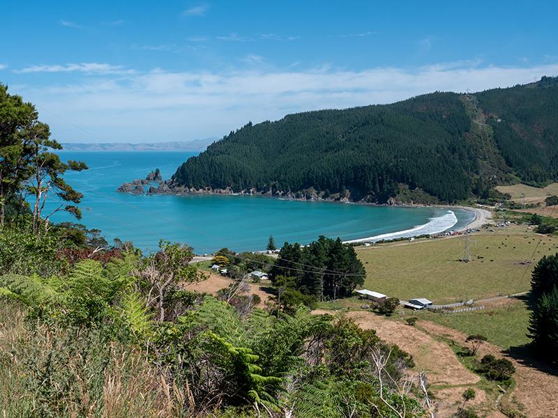
It was quite a long run down to Flat Point, with the road sealed most of the way but gravel for the last part of the run, up to the ridgeline overlooking the coast, where it forks. Here we found a rather lost couple in a camper and advised them that both directions took them down to the coast road, with the right fork going to Glenburn station and the walk to Honeycomb Rocks while the left fork came down closer to the Flat Point settlement, where there is beach access. We took the left fork for a pleasant descent then a couple of kilometres along the coast road to the signposted beach access. This led through a settlement of newly-built houses to a car park with a short walking access through the tussock and onto the beach. With mild, sunny weather and a low tide this was a very attractive place to be, and we spent a while just enjoying being there before the tide started coming in rapidly. Judging by the surf line, there would be no beach at all at high tide, so we headed back to a picnic table nestled in the tussock for a rather late morning coffee break. Our final stop as we left Flat Point was to a very rustic looking hut that was the local public toilet. Inside was a basic but perfectly adequate facility, although you could see people walking past. Given the time, we decided to save the drive south to Glenburn station and the walk to Honeycomb Rocks for another day.
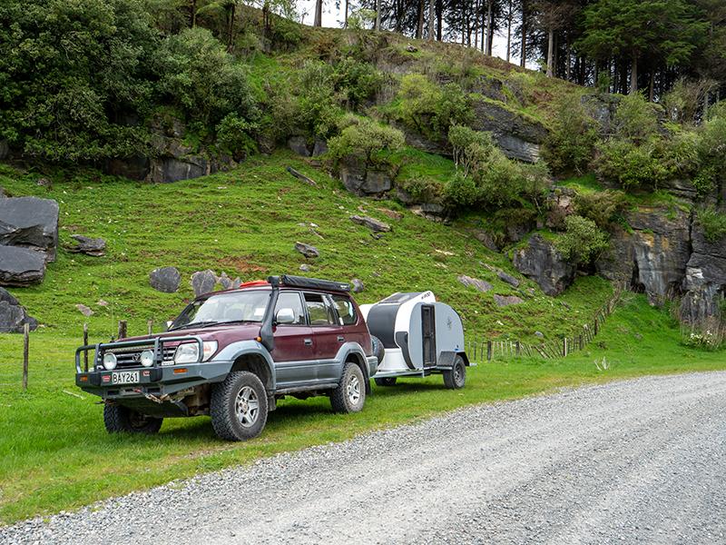
Our route was to return over the hills to the start of the seal then take the unsealed Kaiwhata Rd through the hills and down the Kaiwhata River valley, finally coming out at Riversdale. This was an easy drive though a mix of farmland and forestry blocks, although it can become slippery in wet weather with logging trucks cutting up the surface. There are some very nice views in this area, but they are slowly disappearing as the trees grow back along the road after the last lot of logging. Buy the time we reached the road into Riversdale, we were back on seal for the run north to Tinui and on towards Castlepoint. We turned off at Mataikona Road just before the final hill into Castlepoint and stopped for lunch on the beach at the mouth of the Mataikona River. Weather-wise it was a bit exposed and cloudy but it was fun watching someone playing on a jet-ski in the estuary and peaceful after they left.
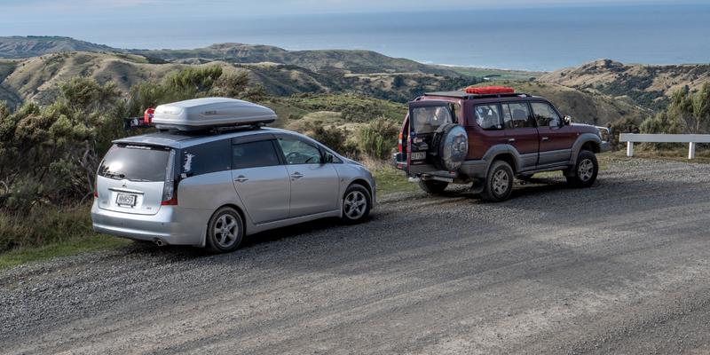
After lunch we followed the river valley up Pack Spur Rd to the end of the road as marked on the topo map. At this point there was a closed gate marked private property on the left and a very unused-looking road forking to the right, which we followed. We worked our way up the valley on a rather lonely track with a couple of small fords before getting above the bush and following a paper road across a paddock to a high point at 750m. This gave us amazing views across the ranges, which we took the time to enjoy before following the track to the junction with the top of Tinui Valley Road. Although it was “left for home” at this point, we decided that since we were here, we would follow Tinui Valley Road to the end. Ashley, who was leading took this a bit too far when he swung around the last bend and ended up in someone’s driveway, much to the surprise of the owners.
A friendly chat with the locals ensued before we headed back down Tinui Valley Rd to the main Castlepoint – Masterton Rd and an easy run back to Wellington after another rewarding day of exploring, proving that we can still find new tracks, even after so many trips.