Story and photos by David Coxon
Over the last few months I had read a number of articles that mentioned Fields Track. When the same name also came up in a few conversations at work, I felt it was a message that this was a track worth exploring. What better justification for a weekend away!
Having confirmed that Fields Track was one of the network of roads linking the valleys between SH4 and SH1 in the mid/lower North Island, I planned a trip that would take us up to Taihape via some back roads then across to SH4, picking up Fields Track, before a run back to Wellington.
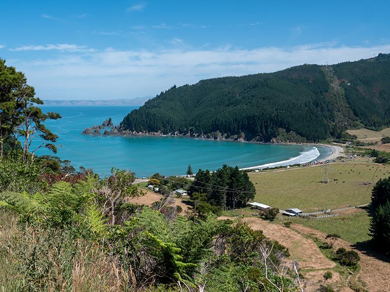
After the usual run up SH1 from Wellington, the trip started at Bulls with a detour out to the coast in the hope of finding access onto the beach. In this case we were out of luck, with the road ending a few hundred metres from the coast at the entrance to a forestry plantation. Although there was no beach access the road end itself, a parking area on the fringes of the pine plantation, made a very pleasant place for a late lunch.
For variety, we returned to SH3 via Santoft and took a selection of mainly sealed back roads through some very attractive back-country, bypassing Marton then climbing into the hills heading for Hunterville.
One of the features of this section was the number of signs leading us to Orlando Country which turned out to be an up-market country club, with public café, and a function centre. While a visit to the public café might be a nice way to break up a trip, on this occasion we had other plans.
Superb views
Continuing into the hill we were treated to superb views of the wrinkled landscape that makes up the high country farms before dropping down to SH1. It was only a quick run before heading back onto the road less travelled at the turnoff to the Bruce Park scenic reserve for the last ten kilometres of the run to Hunterville. A quick coffee break at a clearing on the side of the road saved us stopping at Hunterville, although coming into Hunterville from the west showed us how much more there was to the town than we see from the main highway.
Watershed Rd
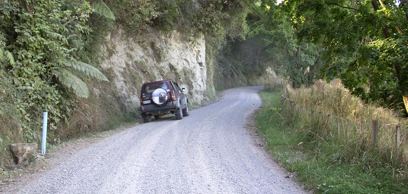
A couple of kilometres past Hunterville we turned off SH1 at Simpson’s Reserve for another run into the hills. A highlight of this section was Watershed Rd. This was a beautiful road, climbing into the hills for expansive views across to the Ruahines, then turning to gravel and winding through a pine plantation, with the trees meeting overhead.
As we headed down towards Taihape Mt Ruapehu, still with some snow on it, started to dominate the landscape, making an interesting backdrop to the farmland we were driving through. As we passed through Mataroa I noted the turn we would make to start the next day’s trip, before we carried on to SH1 and Taihape for the night.
The next day we returned to Mataroa to take a mainly westerly zig-zag route, finally reaching SH4 via Fields Track. Our first road was Ruanui Rd that took us to the Turakina Valley. We stopped a number of times on this section to photograph farm activities and the Ruapehu-dominated scenery before joining the unsealed Turakina Valley Rd at Colliers junction.
We followed the very corrugated Turakina Valley Rd for a while before turning west again onto Owhakura Rd to reach Whangaehu Valley Rd, where I turned right. As we came out of the hills we started getting amazing views of Mt Ruapehu across the farmland.
Zig-zag route
One angle in particular, with the Whangaehu River running through a gorge directly below us straight to the mountain was so impressive that I stopped and spent about half an hour photographing it.
As we headed off again I felt something wasn’t right, so I checked the map and sure enough, where I had ‘zigged’ right into Whangaehu Valley Rd I should have ‘zagged’ left! It goes to show that sometimes taking the wrong way is actually the right way.
After a short run back to Owhakura Rd we continued south on Whangaehu Valley Rd until we joined Fields Track. We stopped at the bridge crossing the Whangaehu River to admire the white-cliffs of the gorge and comment on the sign warning that the Whangaehu River could be dangerously acidic – its source is on the volcanic plateau of Mt Ruapehu.
Fields Track itself, the target of our trip, was an easy, sealed and picturesque road, and we were soon on SH4, where we did a quick run up to see the Raukawa Falls before heading south for Wellington.
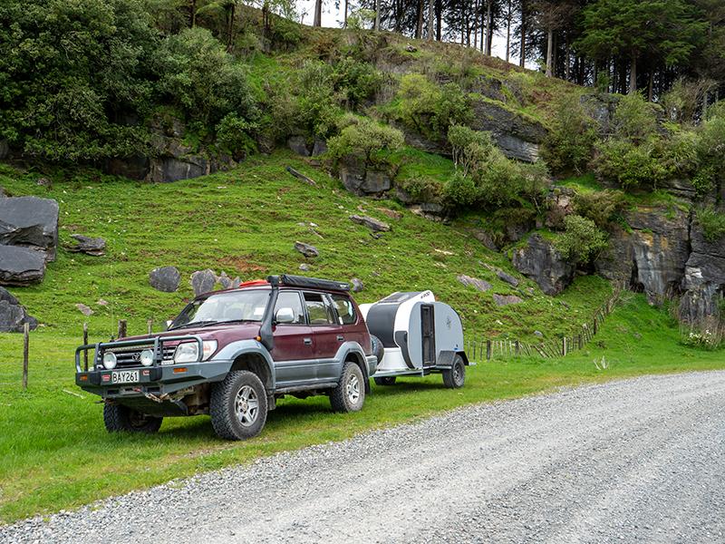
Our plan was to cut across a few back roads towards Marton, but the road we wanted, Te Rimu Rd, was a no exit road into a field. We randomly took Parihauhau Rd, a no exit road of considerable length, stopping not too far in at clearing on a corner for a quiet, sunny lunch before the final run back to Wellington with another photographically successful weekend experience to add to the memories.
To read every story in the May 2017 issue of NZ4WD go to Zinio.com (April 21) or purchase your own hard copy at the Adrenalin store.


