
On the recent day trip to Cromwell (early December), to deliver a load of camping gear, we decided to have a look at the old Lindis Pass Historic Hotel on the way back to Geraldine. I had seen reference to it in several travel articles in other magazines but could not remember seeing it as we travelled through Lindis Pass on prior occasions so did a bit of research (googled it) to find out where it actually was. This old derelict hotel used to be on the old coach road through Lindis Pass from Tarras to Omarama but when the new highway SH8 got put through, it ended up on a no exit road and with no passing traffic. It is now a DOC camp, though a very basic one with only a long drop toilet and no other facilities. Water is available from the stream.
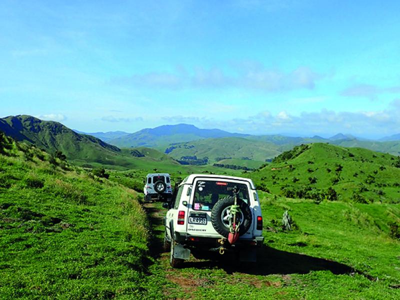
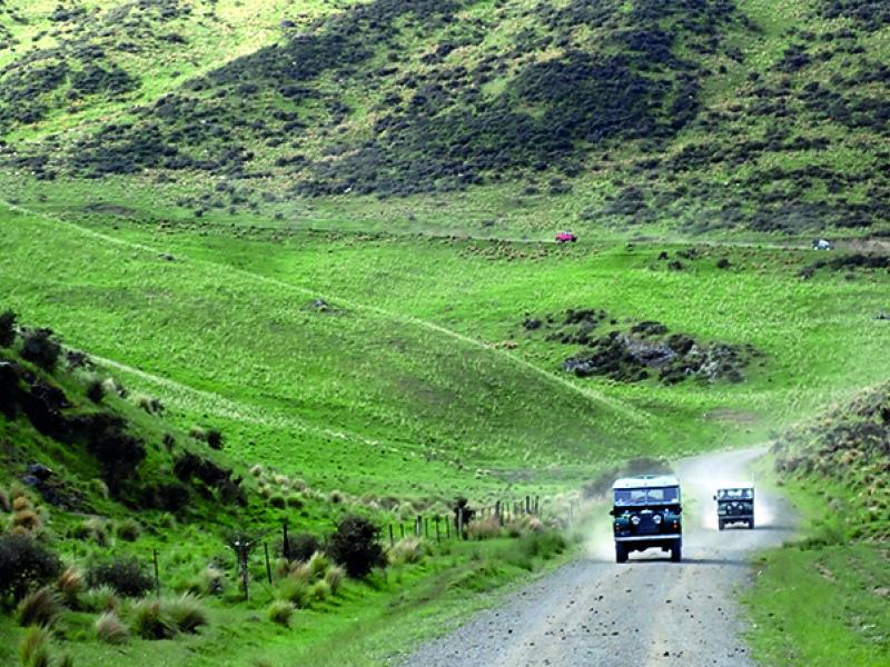
To get there, travelling north from Tarras on SH8, take Old Faithful Road on the left just before the bridge over the Lindis River and before you get to Timburn Road which is on the other end of the bridge. It is about six km of gravel road, narrow and steep in places, following the river with SH8 running parallel on the other side of the river most of the way. Towards the end it opens up into cultivated and irrigated farm land. The road is gravel and clay based and while in good condition when we drove it, once wet it would be very slippery in places. It is also used as a farm track with several cattle grids and there are livestock on the road (including big black cows and their calves).
The hotel is built of schist and although it has no roof, is in remarkably good shape still with no sign of collapsing walls. You can look right through from the front doorway to the back wall of the hotel and from side to side. There are a couple of outbuildings, one with no roof and the other with a roof but with warning signs to stay clear as it could collapse and with a deer gate blocking the entrance.
The camping area is flat and bordered by trees. Pleasant enough if you were only staying overnight but not much opportunity for activities like walking, biking and swimming. Perhaps a place to blob out and chill. Well worth a look at the hotel though if you are passing through and have 30 minutes to spare to drive in and back.
Driving back out on Old Faithful Road, we stopped several times to admire (and photograph) the lupins which were in full bloom at this time of the year.
We got to the Lake Pukaki lookout in time for afternoon coffee off the tailgate. In an earlier edition of NZ4WD mag, previous editor Ross MacKay published one of my photos taken from this lookout as the Opening Shot and issued a challenge to everyone to send in a better shot if they could. We stop here most times for a coffee and stretch, and each time the view across Lake Pukaki to Aoraki/Mount Cook is different and spectacular. Today there was cloud over the tops with Aoraki/Mt Cook just peeping through. The lake was as full as we have seen it as was Lake Tekapo. Both lakes were being spilled down the outgoing rivers so must have been at capacity.
The lupins were in full bloom and spectacular from Fairlie right through the McKenzie Basin and over Lindis Pass to Tarras. They were in clumps along the sides of the road and especially in the stream and river beds. Of course, there were many camper vans and slider vans stopped with people out on the sides of the road, and sometimes in the paddocks, taking photos. Apparently, the powers that be have decided that stopping for lupins could cause accidents so have decreed that they are a noxious pest and should be sprayed out. From next year you may struggle to see any lupins along the road. The most spectacular area used to be just north of Irishman’s Creek (south of Tekapo) and on an earlier occasion (several years ago) I took a picture from the canal bridge on SH8 at Irishman’s Creek looking back towards Tekapo. Now there are no lupins through this area as they have been sprayed out including out into the paddocks.
A great day trip for us from Geraldine to Cromwell, 600km of spectacular scenery, marred only by many areas of roadworks with 30kph speed restrictions and stop/go places meaning it took us 4.5 hours to cover what google maps said would take 3.5 hours each way. Still, it was enjoyable to be able to drive to Cromwell for lunch, do a bit of sightseeing on the way back and be home in Geraldine for tea on a fine summer’s day. The joys of retirement!