We’ve all either seen, heard or read about the Grades given to 4WD tracks here in NZ. In this article, Richard Soult of 4x4Explorer.co.nz, looks at how 4WD tracks are graded, what the Grades mean and offers his opinion about the very best Routes within each Grade.
4
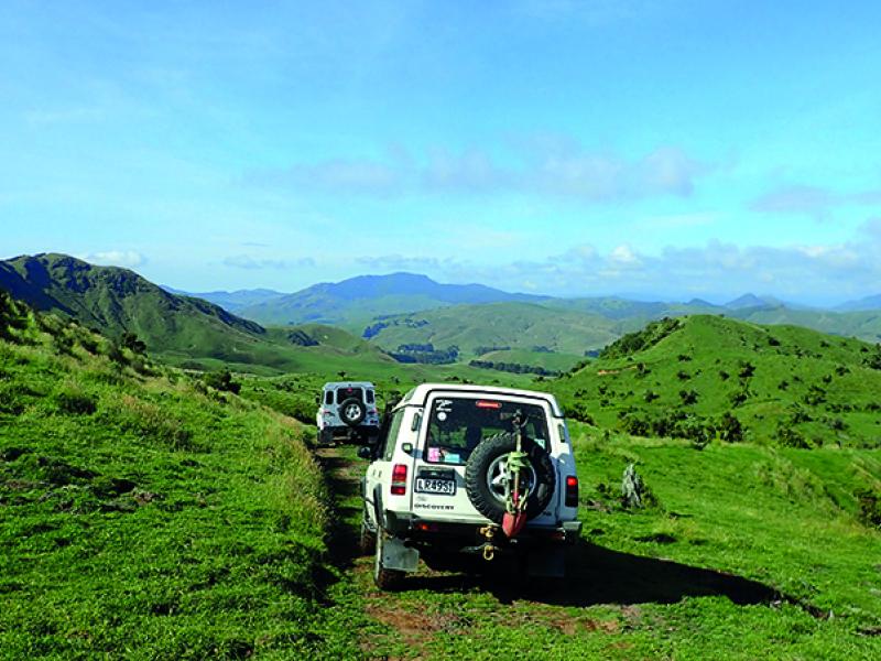
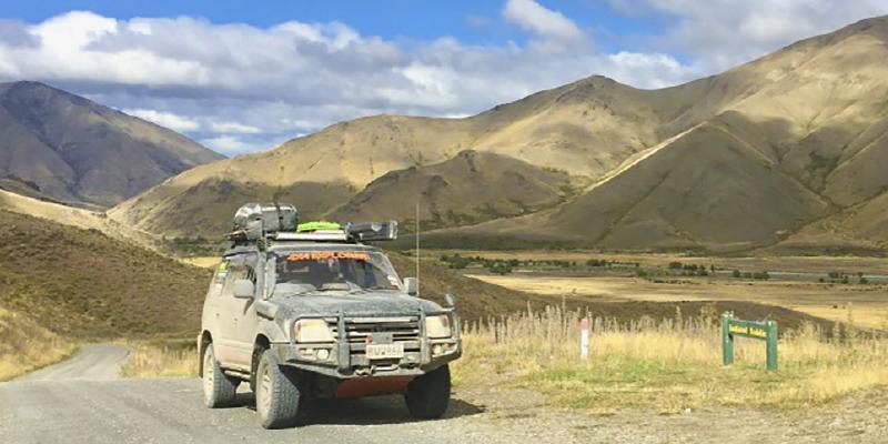
WD Routes are generally graded from one to five. One being the easiest and five being the most difficult.
Unlike many other sports, there is no single universal definitive system for grading 4WD tracks in New Zealand. Many 4WD clubs have their own grading standards, which vary from club to club and can be highly subjective.
However, as with climbing or rafting grades, 4WD routes are generally graded using the ‘crux,’ or most difficult move or section to give the route its grade. In many cases, this may be a river crossing, a steep rutted section or bog holes.
All of these will vary in difficulty depending mainly on the weather and particularly the amount of rainfall.
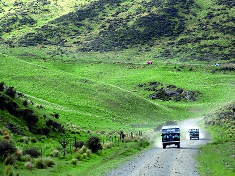
For example, under normal dry conditions, a Grade 3 track, may have several moderate stream crossings, however, after heavy rain, these may become river crossings requiring multiple vehicles and snorkels.
Many guidebooks also recommend the minimum number of vehicles required to safely attempt a route. Again, this will vary considerably depending on the capability of both the driver and vehicle, together with the recovery equipment carried. For example, a route through woodland could reasonably negotiated by a single vehicle equipped with a winch, whilst a boggy highland track with no trees would be better negotiated with a second vehicle, land anchor and a winch.
We have used the grading system adopted by 4x4Explorer in defining the description of each grade.
Grade 1 Definition
Normally well-groomed gravel roads, which are more scenic rather than challenging.
These can normally be tackled by novice drivers using road tyres and offer no significant difficulty.
Our choice for the best grade 1 route in New Zealand has got to be the Molesworth Station. Running between Hanmer Springs and Seddon and at nearly 170 kilometers in length, this is the longest uninterrupted gravel road in New Zealand. On a clear sunny day, the views of the Inland Kaikoura Range are simply stunning!
There are two DOC campsites along the way if you chose to spend the night and toilet facilities are provided at both. If you decide to drive straight through, you will need to count about 4.5 hours one-way.
For such a relatively easy track, the sense of remoteness that you feel is amazing! As you drive for kilometre after kilometre, the scenery changes and new views appear. Most of the track follows various rivers and there are numerous spots to stop for lunch and maybe have a swim on a hot day.
Simply put, The Molesworth Station is an absolute “must do” for anyone with a 4WD. It’s also a superb diversion if you’re heading south and don’t want to take SH1 or the Lewis Pass.
This route is free to access however it can be closed during the summer due to fire risk and in the winter. Check the DOC website before planning your trip.
Grade 2 Definition
Normally good condition gravel roads or 4WD tracks with a few minor challenging sections in the form of stream crossings or mildly rough terrain.
These routes may have some mud and are ideally suited to intermediate drivers with all terrain tyres.
We have chosen the Lees Valley as our pick of grade 2 routes for a number of reasons. It is a loop route, easily done in a day. It is within an hour of Christchurch and offers varying scenery and a feeling of remoteness that is hard to imagine, being so close to the South Island’s largest city.
Driving east to west, the backdrop of the Southern Alps is stunning!
Halfway through the route is the only potential obstacle, in the form of the Okuku River. On a dry day, the Okuku does not represent any issues with the water level being around 30 centimetres. Be aware though, that this is a river that can rise very quickly and present a serious challenge. If in any doubt about your ability to cross, return the way you came.
Once across, you will start to climb again and head out towards Oxford. At what is known as the ‘Middle Bridge,’ you will see a small waterfall on your left, beneath which is a superb swimming hole. It’s well worth lingering here and cooling off on a hot day.
The Lees Valley is a fantastic day out that all the family will enjoy. By the time you get to Oxford, you can be back in Christchurch in under an hour.
Grade 3 Definition
Normally gravel roads or 4WD tracks with a few moderate-challenging sections in the form of river crossings, steep inclines or rough terrain.
Edwards Pass is our choice for the grade 3 category. This is a route that can either be done as an ‘in and out’ from Hanmer Springs or alternatively offers a superb place to wild camp overlooking the Waiau River.
The track is accessed from the Rainbow Road, south of Malings Pass. It is free to enter, however a gate code is required and available on the DOC website. This code also provides access to Malings Pass.
The track itself is a mixture of clay and gravel with half a dozen small stream crossings. There are a few steep climbs and descents but nothing that constitute an issue.
At the end of the track, set up and looking down on the river, you will feel that you are extremely remote and will probably be the only people there. The views up and down the valley are amazing!
Despite access being free, it is not possible to enter at all times of the year. Check on the DOC website before planning your trip.
Grade 4 Definition
Normally 4WD tracks with multiple challenging sections in the form of river crossings, steep loose inclines or generally very rough terrain.
Grade 4 and above is definitely the domain of experienced drivers with vehicles equipped for purpose. This will include all terrain or mud tyres, snorkel, winch and appropriate recovery gear.
The Manuherikia River West Branch when combined with the Omarama Saddle, is one of our all-time favourites and something that we never tire of driving.
The route lies to the south of Omarama and links Omarama to the old gold mining town of St Bathans with its haunted pub and famous Blue Lake.
This route really has everything! The views out over the Great Divide from the Omarama Saddle are truly spectacular on a clear day. Once you drop down to the valley floor, the track becomes rough with about 18 crossings of the Manuherikia River. In the dry, these do not present a problem but following heavy rain will become more challenging.
As mentioned earlier, routes are graded on their most difficult sections. In this case, the route is relatively straightforward except when heavy rain has increased the level of flow in the river, which represents the most difficult sections.
There are two fantastic DOC huts in the valley being Top Hut and Boundary Creek Hut. Both are almost identical and have numerous bunks, a dining table, food preparation area and a log-burning stove. Many a snug night has been spent in these huts with a fire going listening to the rain and wind beating down on the corrugated iron exterior.
Grade 5 Definition
Normally highly challenging with multiple technical sections.
Our choice of grade 5 track was made because of its splendor, remoteness and uniqueness. The Godley Glacier Track is probably one of the only places on earth where you can drive to the terminus lake of a glacier!
Access to the track is via Lake Tekapo Village. The track leads up the Northern side of the lake and across the Macaulay River. This is a river to be taken seriously, as the signs at the crossing point explain. Check the weather forecast before going in and take enough supplies to last you in case you are not able to get back out.
Once over the Macaulay, the track heads up the Godley Valley and the views just get better and better the further you travel. At a point, you pass a sign telling you that you are entering Mount Cook National Park. A quick glance at the map will show you that you are now closer to Franz Josef on the West Coast than you are to Tekapo Village! This is remote!
The Godley Glacier track starts at Red Stag Hut, which is further up the valley on the right. It’s worth using a GPS because it’s hard to see the hut in this huge landscape.
Leaving Red Stag, the track becomes less distinct with larger boulders. There are cairns that people have built, which does help. It’s hard to give useful directions as the valley floor and tributary streams are constantly changing. Towards the top, it is worth having someone on foot out front “spotting” the track.
The objective is to drive to the edge of the lake, although remember that you are extremely remote and difficult to recover if anything breaks or you get stuck.
Once at the lake, the views are stunning with the glacier directly in front of you. The track is probably misnamed because although you have driven up the Godley Valley, the glacier in front of you is in fact the Maude Glacier.
We hope that you have enjoyed reading our selection, which is of course highly subjective. We all have our favourites and with the list being nearly endless, there is plenty of scope.
As always, details on all these routes are available on https://www.4x4explorer.co.nz/?aff+2818 together with nearly 800 4WD routes for you to get your teeth into, all with grades, downloadable GPS files, access information, driving notes and high quality photos.