Wellington’s South Coast, is a great place to spend a day, a week or even longer says NZ4WD contributor Murray Taylor.
Being a Bach owner on the south coast (as I am very fortunate to be) is a great privilege, for which I have to thank the council for its continued lease agreement in allowing the Baches to remain as part of the area’s heritage.
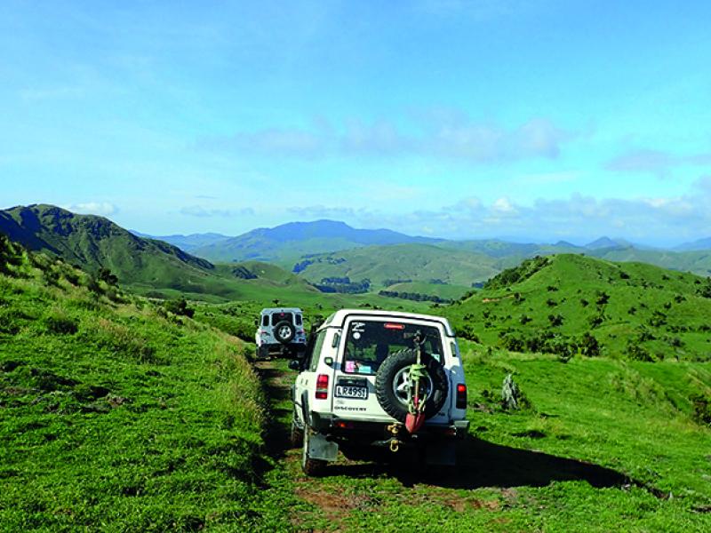
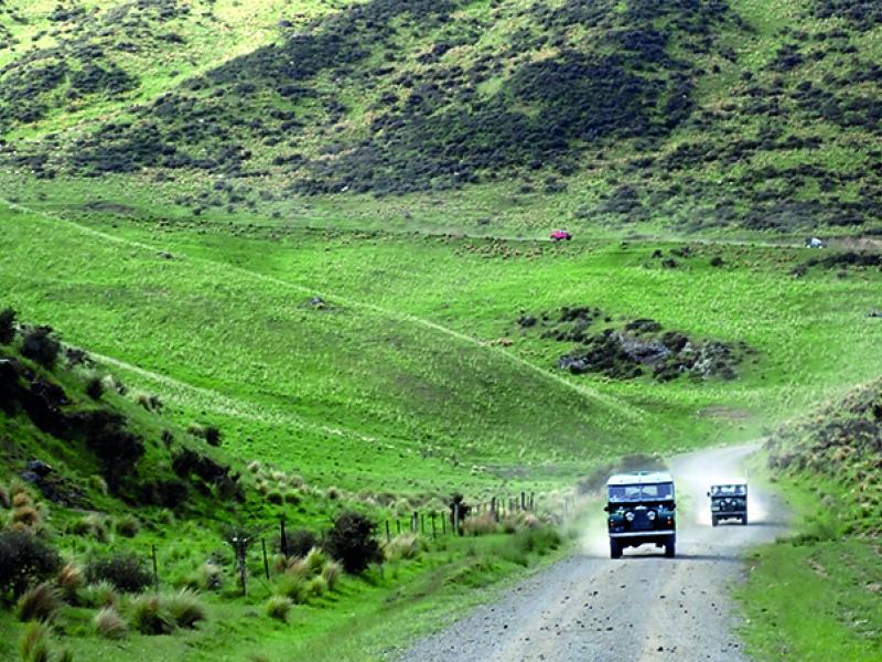
When I’m down ‘in town’ from the farm (near Eketahuna in the northern Wairarapa. Ed) it’s great to just sit and reflect on life in general, watching the walkers heading for Sinclair Head to see the seals (even during a winter southerly), or just the different vehicles (mostly 4x4s) that come around the coast, some only as far as Devil’s Gate (and yes there was a gate there once), or those that go beyond.
Some return in a short period of time, others come back the next day, regulars and tourists alike. These days the list also includes those on mountain bikes, in side x sides (which seem to be growing in popularity) plus the odd motorbiker.
It’s a very special part of Wellington, just 20 minutes from the centre of the city, yet as I write this (on a fairly typical early weekend in early Autumn) the city could be a million miles away.
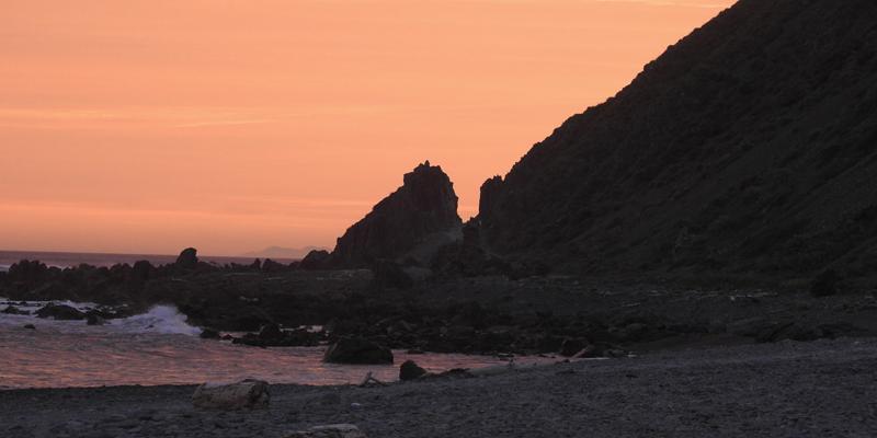
All I can – literally – hear is the sound of the waves crashing on the beach and the heavy thump of a ship’s engine, as another ferry heads for Wellington or Picton. As the day ends, and it gets cooler, the coast becomes quieter as most head for home, leaving the Bach residents, seagulls, seals, weasels, etc to watch the sunset after another great day on the south coast…
The gateway to the south coasts area is the information centre at Owhiro Bay, where the history of the area is detailed.
From this gateway, no matter what mode of transport (i.e. walking/riding or driving) you head straight down a ramp to the first creek crossing.
The track in front was once the site of a quarry which supplied Wellington with builders’ mix and rock until it was shut down and the area reclaimed. Back in the day you had to ‘thread-the-needle’ through what was the called ‘the run around’ to pass behind Fly Rock and the walking track.
Now, however, it’s up over the bump in the track and down across the sand to past Fly Rock, so called because a large colony of rock flies lived on it and the surrounding kelp.
Mestanes Bay is next with its small group of Baches tucked in alongside the creek - which does or does not flow depending on rain. The track has holes in, which are to be avoided, and there’s a large parking area where sand has been taken out, just before you drop down onto the beach and Weedy Bay.
There’s lots of history just in this confined area, with, large red rocks on both sides of the track and out into the sea and navigating this section depends very much on the conditions on the day.
One of the places you pass is the site of the old stone factory which operated there in the early 1900s cutting the red rock to supply decorative building material to Wellington.
Time and machinery have seen to the site with a little of the foundation left. However it is relatively easy to find the water tanks used to supply water for the cutting gear which still exist on the ridge above the first two Baches in the bay (care is needed here, though, as the tanks are open topped and deep).
As you arrive at the end of the bay before the gate there’s a section of beach which juts out a little, too. This once had a concrete ramp in place from WWII and if you stand in the right place and look up you can see notch in the ridge which was the top landing site for the cableway used to haul supplies to the observation post built on top of Sinclair Head.
Sinclair Head/Devil’s Gate was once the end of the road, as it was too steep and narrow for a vehicle to get through, and yes there was once a gate in the gap as it was a boundary fence line. At this point depending on the time of the year, the local Seals will be present on both sides of Devil’s Gate. It pays to take particular care on the south side as you often find the Seals resting on either side of the track!
The gate was taken out at the time a bulldozer went through the gap in the 1970s. Since then it has opened up over the years, with concrete even being poured to improve the access and allow vehicles to go over the top.
Still, it takes a bit of nerve when driving as in either direction you lose sight of the track, though – as 4Wheelers we’re obviously used to that and it is all part of ‘going through the gap.’
Down the slope on the other side and around the corner there’s a turning area with a large rock formation in the centre, from which you get another great view further south towards Karori Rock Lighthouse and Tongue Point.
You can continue to drive or walk as there is lots more to both do and see, but care is needed on the beaches further along due to both the tide and soft sand, the road finishing just before Oteranga Bay, if you get that far.
Walking, obviously, is another story.
From Sinclair Head there are also further Baches along the coast, even a couple of very modern ones (which can be rented) with some older ones at Long Beach and a group alongside Karori Stream.
How far one travels is up to the individual, being aware that there is plenty to both do and see along the way, but that it gets dark early in winter.
That said – in my humble opinion of course – nothing beats being on the south coast on a winter’s day with a southerly sea pounding onto the beach, the wind whipping the spray into the air, and the fire roaring in the fireplace….
From Owhiro Bay to Oteranga Bay, you can get to Cave Bay by 4WD, then beyond by Shanks’s pony! (‘walking’ for those unfamiliar with the old low Scottish term).
The gates are open Monday to Saturday to all 4WDs, walkers MTBers, trail bike riders etc. alike, BUT is closed from 9.00am to 6.00pm on Sundays to all vehicle traffic to allow the public total – ambulatory - freedom of the coast without having to keep an eye out for motor vehicles.
This has been in place since the council purchased the quarry back in the 70s and agreement was reached in May 1979 regarding vehicle access at that time, otherwise it was to be a total closure.
So if one wants to see this area preserved for future use of vehicles ( of any type) then all that use it need to:
* 1. Treat it like a road, (which it is)
* 2. Do not exceed a safe speed at all times
* 3. Stay on existing formed tracks and not make new ones (unless below the high tide mark)
* 4. Do not play in the creek crossings by charging through them at speed
* 5. Understand that walkers have the right away at all times as, the motor vehicle may not even be on the unformed road….
* 6. Accept that no vehicle moves on the coast from 9.00am to 6.00pm on a Sunday. The intention was for a vehicle-less day…
To read the full story in the March 2019 issue of NZ4WD go to Zinio.com (February 18) or purchase your own hard copy at the Adrenalin store